


4 km | 11,6 km-effort

Tous les sentiers balisés d’Europe GUIDE+


Application GPS de randonnée GRATUITE
 SityTrail
IGN / Instituts géographiques
SityTrail World
Le monde est à vous
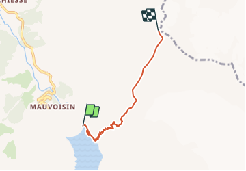
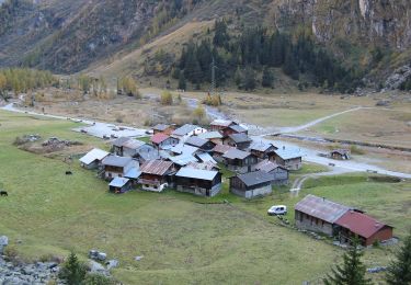
Randonnée A pied de 4,3 km à découvrir à Valais, Entremont, Val de Bagnes. Cette randonnée est proposée par SityTrail - itinéraires balisés pédestres.
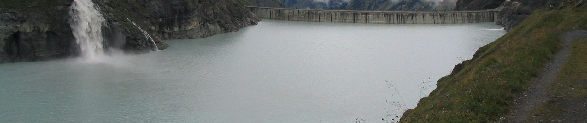
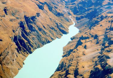
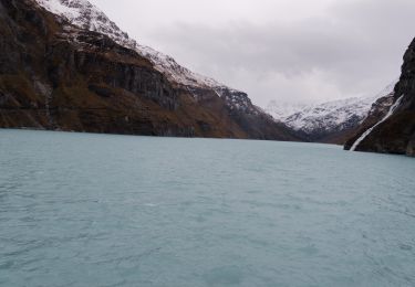
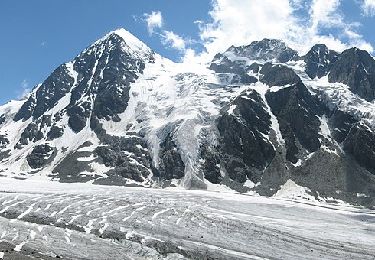
Barrage de Mauvoisin - Le Pleureur
Symbole: blue:line


A pied

A pied
Marche
A pied
A pied
A pied

A pied
Autre activité

Marche